The St Olav’s Cross leads the way. This symbol appears as a metal badge and a sticker, and is found at regular intervals along the entire St Olavsleden trail.

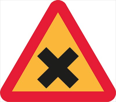
Warning signs showing that you are approaching a trafficked trail. This can be a major road, a railway or other type of crossing that you need to watch out for. Pass at your own risk.

Direction signs that show when the St Olavsleden turns or changes direction. This sign applies to all modes of transport.

Direction signs for hikers showing that the hiking trail takes a different direction, as shown by the arrow.

Direction signs for cyclists showing that the cycle trail takes a different direction, as shown by the arrow.

Direction signs for horse riders showing that the horse riding trail takes a different direction, as shown by the arrow.

Direction sign to pilgrimage spring, showing number of kilometres.

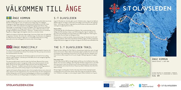
Municipal signs are located on all municipal borders. The St Olavsleden trail takes you through six Swedish and two Norwegian municipalities. At each municipal border you can read about the place where you are, and view a map, with kilometrage to your destination in Trondheim.

During the pandemic, we would remind you to keep a distance in the countryside too. You will find these signs along the St Olavsleden, and you and your pilgrim companions must take responsibility for reducing the spread of infection.

