Plan your bike ride
St. Olavsleden is approximately 580 kilometers long. Thousands of markings and signposts indicate the way. About 45% of the trail is along gravel roads, 36% on asphalt and 19% on trails. In some places the cycle path takes an alternative route. The map, at the bottom of this page, indicates where the cycle path differs from the normal hiking trail.
Rent or bring

If you don’t have your own bike, you can rent either an electric bike or a 7-gear bike.
Contact the local Tourist information office to find the nearest bike rental to your starting point.
Carry the bike

If you only want to bike one section of the trail, you can take the bike with you on the train that follows the trail. It only works on the local train, Norrtåg, where there are spaces for four bikes per train. The long distance trains, run by SJ, does not allow bikes unless you can fold them into a bag with a maximum measure of 140x85x30cm and maximum weight of 25 kg.
Bed or tent

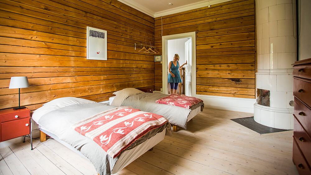
There are accommodations all along the trail and you can see them all listed on the accommodation page. We advise you to book in advance since many places are small with not very many beds.
Using a tent in Sweden and Norway is easier than in many other countries. But, there are rules (The right of public access) to follow. You can not tent in the same spot for more than two nights and you can’t put it up in someone’s private yard. When tenting you also have to be extra careful about littering and take well care of the nature.
Package tours

Choose between preplanned packages or a tailor-made experience, with or without guide. In group or by yourself, in stages or the complete route.
Read more about the different options at the Package tour page.
Join the community

There are also a few ambassadors that you are welcome to contact. The ambassadors have all hiked or biked St. Olavsleden and can help you with your questions.
Pilgrim stories

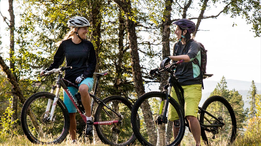
As it is mostly gravel road, but also path and asphalt, the best options are a mountain bike or hardtail, hybrid or possibly a gravel bike. Front cushioning is nice and avoid too heavy and rough tires and aim instead at something that rolls better. It is difficult to bike with large luggage bags in terrain.
Yes, there are bike stores that offer bike rentals in Sundsvall, Östersund, Undersåker, Åre and Trondheim. Contact them to book your bike.
Sundsvall. https://www.catu-bikes.se
Östersund. https://lagghoj.se
Undersåker. http://hyrskidan.com
Åre. https://areskidsport.se
Trondheim. https://www.trondheimsykkelservice.no
With the train company SJ, you need to pack the bike in a bag so that it can be carried on board. If you travel by air, it is possible to check in the bike in a hard or soft case or a bike box.
On Norrtåg, which runs the section Sundsvall – Trondheim, there are four spots for bicycle transport. If you only want to transport part of the trail, it is good to know that the rails leave the S:t Olavslden at Duved to connect again in Verdal.
Helmet, water bottle and a backpack are enough for the day pack. Good to have are gloves, bike locks, sunglasses, padded cycling pants, small first aid. If you have rented a bike with speed pedals, shoes that fit will be needed.
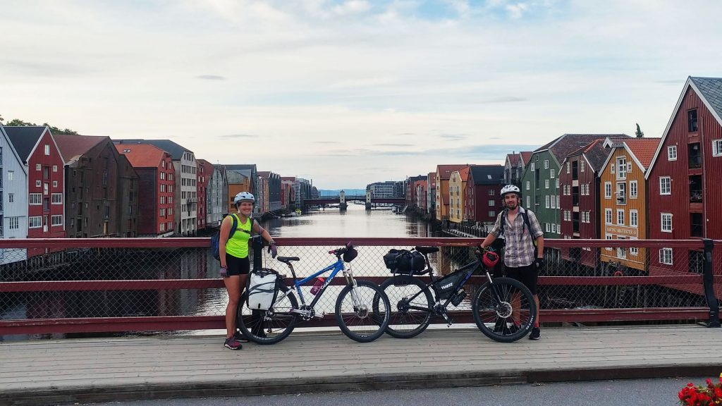
No, it is not possible to have a bicycle cart if you want to cycle S: t Olavsleden’s cycle section. If you are an experienced cyclist, it works with bicycle bags, but it gets quite heavy at times. The easiest way is to ask accommodation if they offer luggage transport.
It is mostly gravel road, some asphalt and some paths. The paths along the bike path can be cycled with a slightly more off-road bike. It can be a bit tricky but not technically difficult.
With a regular bike, somewhere around 40 to 50 km is a reasonable distance to cycle in a day, but it obviously depends on a number of factors. If you are an experienced cyclist, you can possibly go a little further, but feel free to take your time to be able to enjoy your journey and possibly take a detour.
Not really, but padded cycling pants, gloves and sunglasses are nice to have. Rainwear and a warm sweater are good to bring whether you are cycling or hiking.
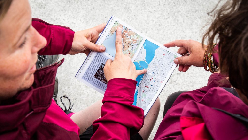
The service locations are marked out on the map on the website. The rental points and bicycle shops also offer service.
Helmet, sunglasses/activity glasses, a first aid, repair kit and lock for the bike are good to have. As always when cycling, safety is important, remember helmet, reflector and possible lighting so that you are clearly visible on the busier parts of the trail.
Map
The map below shows you the biking trail. The St. Olavsleden is divided into three different trails: Hiking, Biking and Horseback riding. Most of the time the three trails are combined but at some parts you need to be careful and choose the correct trail in order to get the best experience to your needs. In the map you can choose to also show accommodation, service points, rest stops and more.
The GPX file for the cycling trail is being updated. If the information in the GPX file differs from the digital map and signage, please follow: 1. Signage 2. Digital map.
